Kory Kekewich
← All projects

Borden Nav

From laminated maps to a digital response tool.

An offline map-and-reference app I built for the fire hall, later combined with the base team's navigation system.

Field pilot

At a glance

The need

Replace laminated paper maps with searchable building information on base.
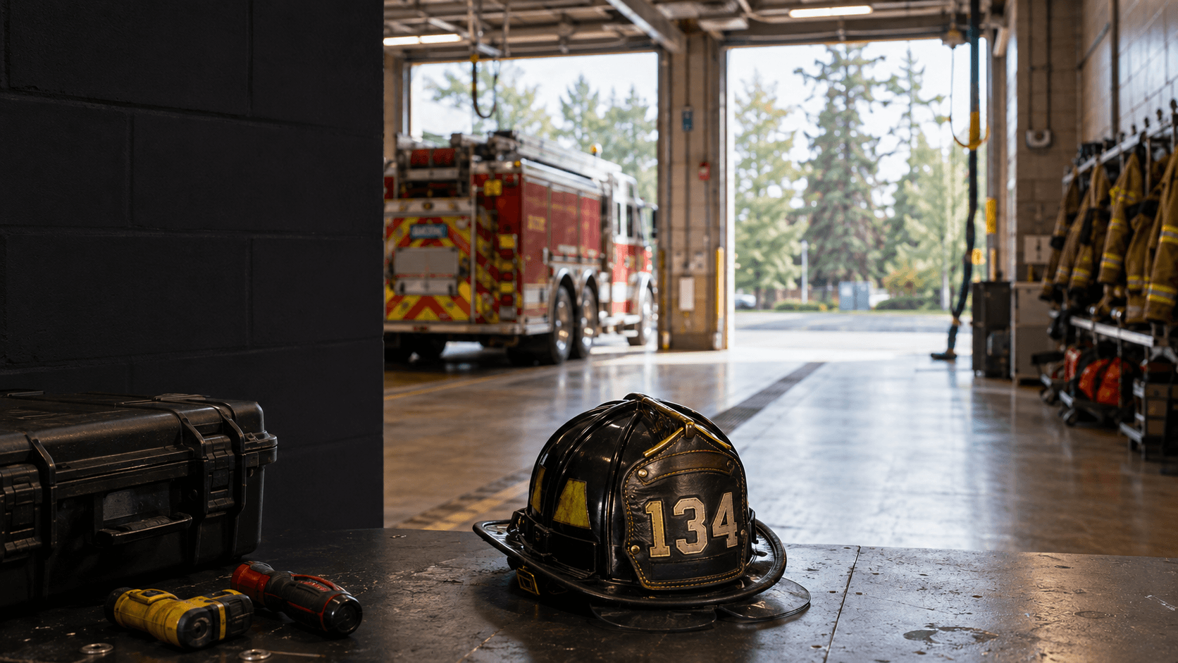
What I built

Offline image maps, searchable pins, building records, and grid-reference tools.

My role

Original app, data, and internal pitch. Later collaborated with base developers on the combined product.

Built with

Flutter
Offline Android tablet interface
Dart
Application development
Custom rendering
CustomPainter and InteractiveViewer over PNG maps
Offline-first
Bundled JSON and shared_preferences for added records
Geospatial
Control points and bilinear interpolation
PDF + data tooling
flutter_pdfview, file export, and Dart/PowerShell data scripts

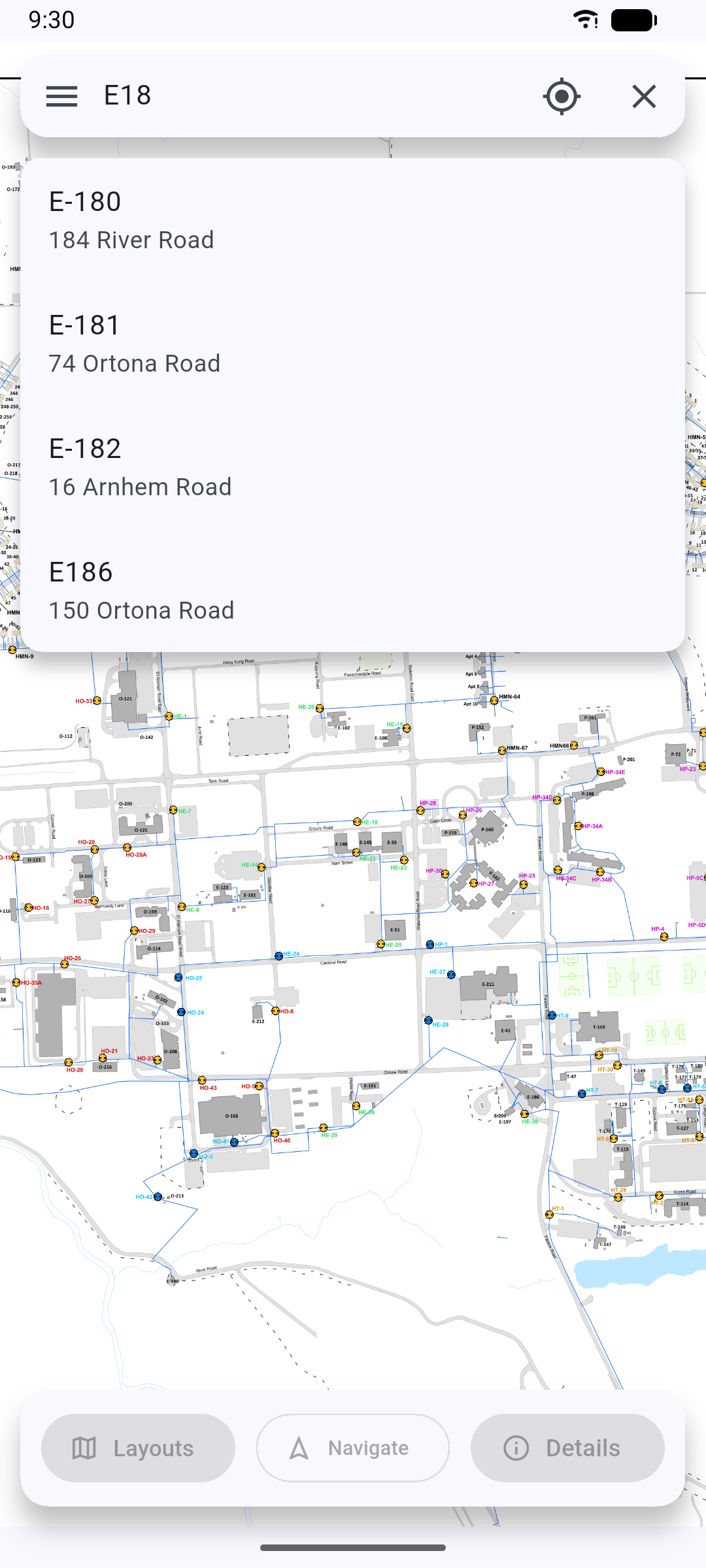
Product preview

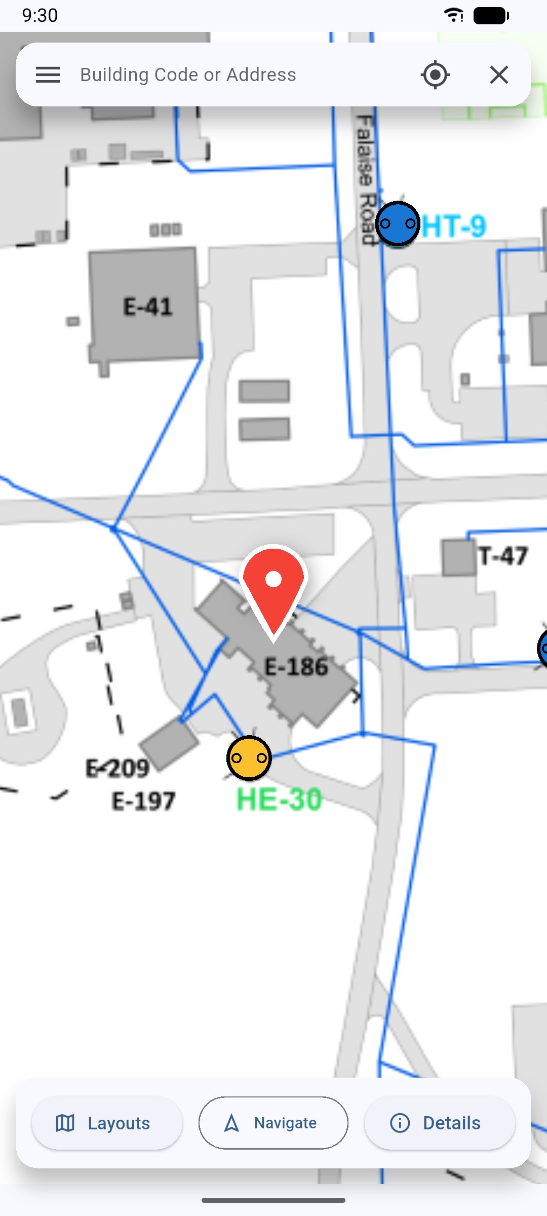
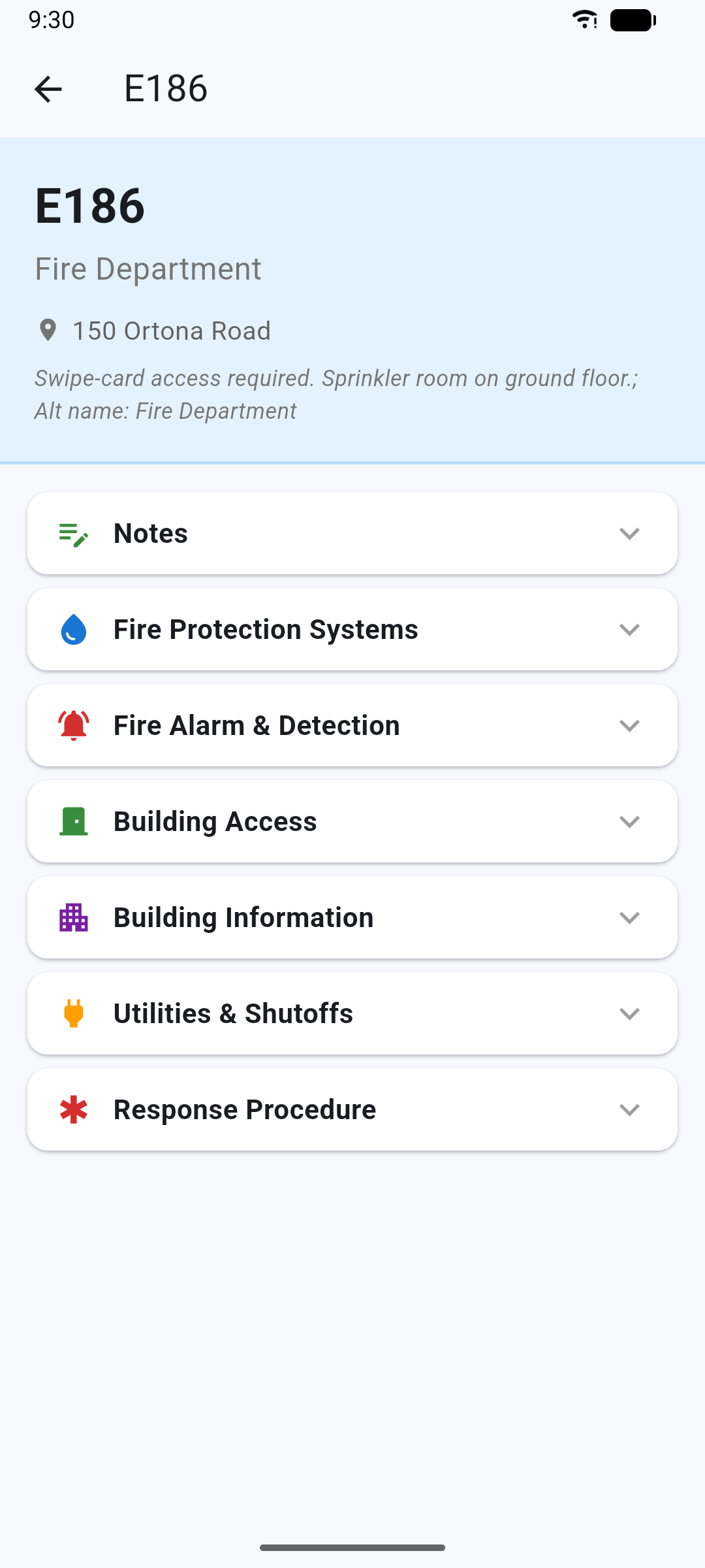
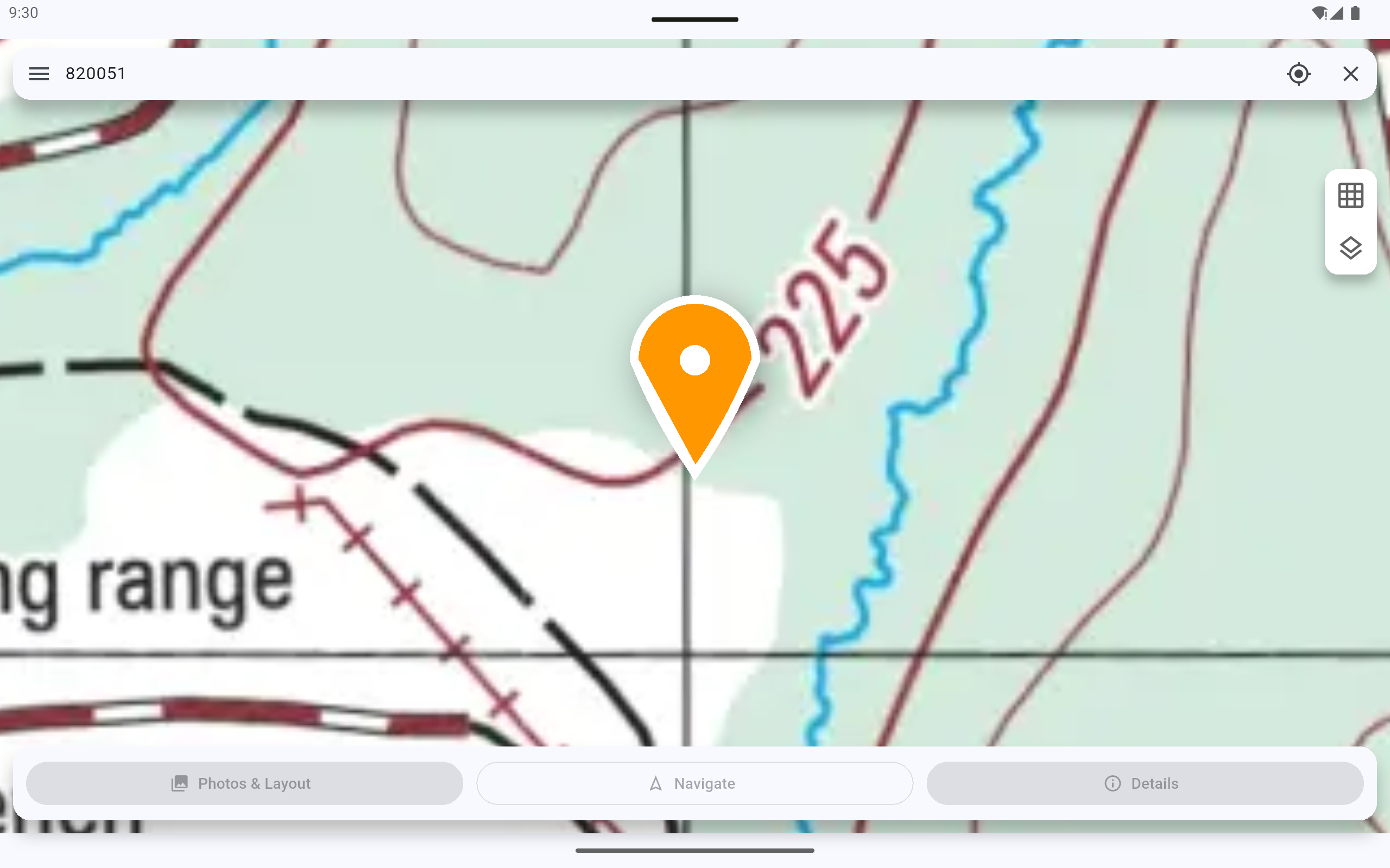
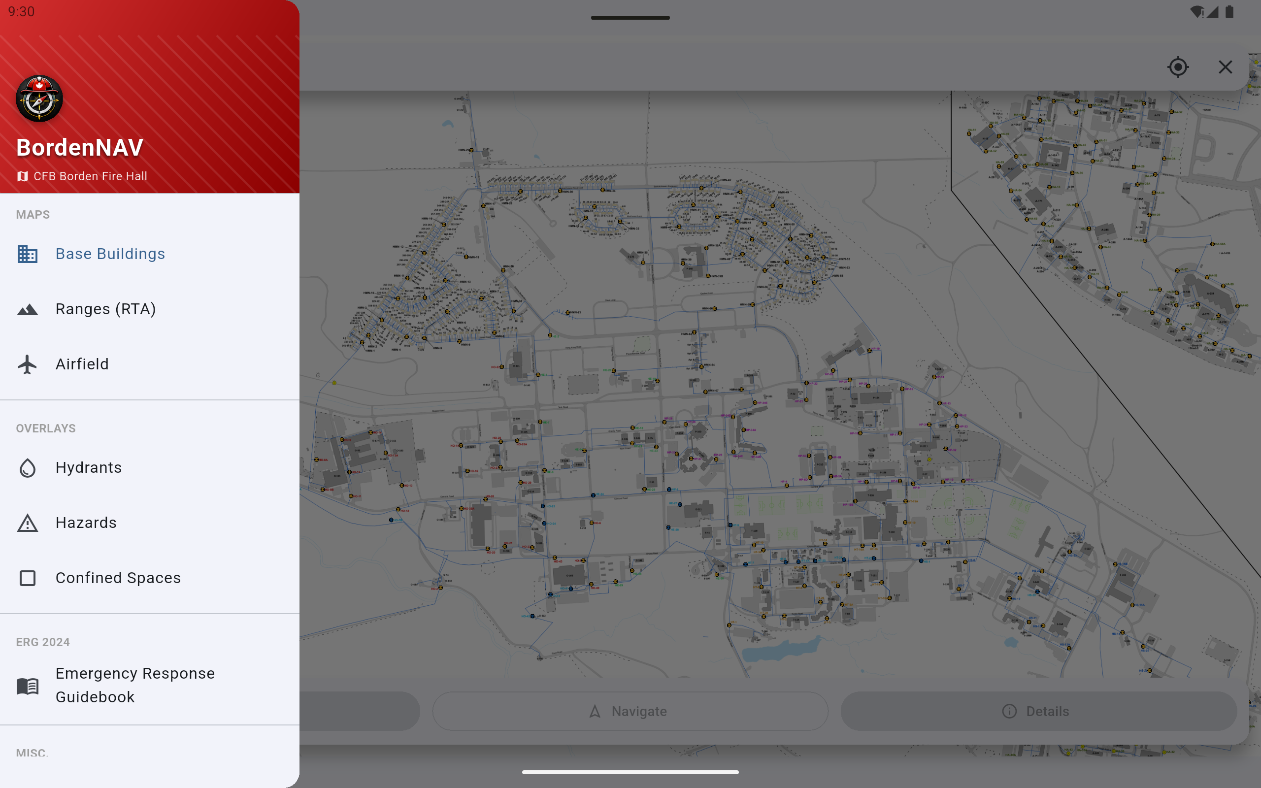
Screens from my original map-and-reference app. The combined product's navigation was supplied by the base development team.

Engineering decisions

Making a picture searchableI linked records to pixel coordinates and used custom rendering and view transforms to locate and select pins.
Challenge
The original maps were images, not a navigation service with searchable locations.
Outcome
A typed building search opens its location and information without a network connection.
Connecting pixels to grid referencesI used measured control points and bilinear interpolation to translate between grid references and map pixels.
Challenge
Map positions and six-figure grid references needed to work in both directions.
Outcome
The separate Dart reference implementation passed checks across 222 control points. These checks do not establish field accuracy of the app.
Bringing two systems togetherI prepared data and handoff tools that normalize identifiers and produce reconciliation worklists for review.
Challenge
My image-based app and the base team's navigation system used different records and identifiers.
Outcome
My data and workflows contributed to the combined product; base developers supplied navigation and adapted the implementation.
My contribution

I built the original Borden Nav application after seeing the operational gap firsthand and pitched it to the fire department. I subsequently collaborated with developers at CFB Borden to combine my application with their navigation application for fire-department use. The combined product is now being tested at the fire hall.

Where it stands

Being tested at the fire hall.

The combined product is on a truck tablet. Crew feedback will guide wider deployment.

Target: December 2026

Next step

Refine the product from crew feedback and prepare the wider tablet deployment.
Next project